
News Summary
A new study indicates that Oregon and coastal regions may be at significant risk for a major earthquake along the Cascadia Subduction Zone. This could lead to severe subsidence and flooding affecting over 22,000 residents. With a 15% chance of a magnitude 8 or greater quake in the next 50 years, crucial infrastructure and local communities will be heavily impacted. The potential danger is intensified by climate change and rising sea levels, necessitating urgent preparedness and mitigation strategies.
Oregon is facing a significant threat from a potential major earthquake along the Cascadia Subduction Zone, according to a recent study. This 600-mile long fault line located off the Pacific Coast is known for its seismic activity, and the new research outlines alarming consequences for coastal regions spanning from Northern California to Vancouver, Canada.
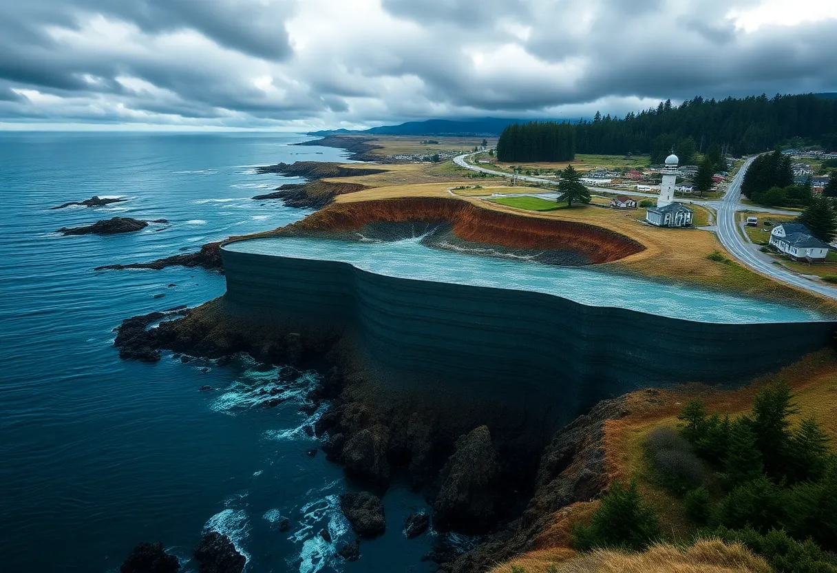
The study, published in the Proceedings of the National Academy of Sciences, warns that a major earthquake could lead to coastline subsidence, where certain areas may drop by more than 6 feet. Floodplain exposure could dramatically increase, affecting an estimated 22,000 residents in this vast region, compared to 8,000 currently. The number of at-risk structures could rise from 13,000 to 36,000, severely impacting local communities and infrastructure.
The potential flooding area is projected to expand by 116 square miles, an expanse comparable to the size of five Manhattans. Coastal towns like Seaside, Oregon, and Westport, Washington, could experience flooding roughly every century if a major quake occurs, reshaping these communities and their landscapes. The probability of an earthquake with a magnitude of 8.0 or greater happening within the next 50 years in the Cascadia Zone is estimated at 15%. For the southern section of the fault, this risk is believed to be even higher, reaching 37-42%.
In addition to land subsidence, scientists predict that such an earthquake would generate tsunami waves that could reach heights of 100 feet. The impact on existing infrastructure is expected to be severe, necessitating extensive reconstruction efforts for bridges, power lines, and vital services across affected regions. Past instances of large earthquakes in the Cascadia Subduction Zone provide historical context for the potential devastation. Evidence suggests that a major earthquake in 1700 resulted in severe coastal effects, including widespread destruction and subsidence that led to entire coastal forests and villages sinking into the ocean.
The implications of global sea level rise, which has already increased by approximately 8 to 9 inches since 1880, are compounded by climate change. Projections indicate an additional rise of 10 to 12 inches by mid-century, exacerbating the flood risks following a significant seismic event. Current land uplift in some areas of the Pacific Northwest could be entirely offset by the subsidence caused by a major quake, leaving many coastal communities uninhabitable in the long term.
The findings underscore the urgent need for preparedness in coastal localities. Flood risks do not only threaten residential areas but extend to critical infrastructure, which includes highways, airports, and wastewater treatment plants. Addressing these risks will require proactive measures and investments in mitigation strategies to protect vulnerable populations and ensure the resilience of coastal communities in the face of impending seismic threats.
Deeper Dive: News & Info About This Topic
- NBC News
- Wikipedia: Cascadia Subduction Zone
- AOL
- Google Search: Cascadia Subduction Zone
- SFGATE
- Google Scholar: Cascadia Subduction Zone earthquake
- SciTech Daily
- Encyclopedia Britannica: Earthquake
- KGW
- Google News: Cascadia Subduction Zone earthquake

Author: STAFF HERE MISSION VIEJO WRITER
The MISSION VIEJO STAFF WRITER represents the experienced team at HEREMissionViejo.com, your go-to source for actionable local news and information in Mission Viejo, Orange County, and beyond. Specializing in "news you can use," we cover essential topics like product reviews for personal and business needs, local business directories, politics, real estate trends, neighborhood insights, and state news affecting the area—with deep expertise drawn from years of dedicated reporting and strong community input, including local press releases and business updates. We deliver top reporting on high-value events such as Oso Fit 5K Fun Run and Community Health Fair, Walk Against Drugs & Community Fair, and National Night Out. Our coverage extends to key organizations like the Mission Viejo Chamber of Commerce and Providence Mission Hospital Mission Viejo, plus leading businesses in retail and education that power the local economy such as The Shops at Mission Viejo, Capistrano Unified School District, and Amazon Delivery Station. As part of the broader HERE network, including HEREAnaheim.com, HEREBeverlyHills.com, HERECostaMesa.com, HERECoronado.com, HEREHollywood.com, HEREHuntingtonBeach.com, HERELongBeach.com, HERELosAngeles.com, HERESanDiego.com, and HERESantaAna.com, we provide comprehensive, credible insights into California's dynamic landscape.